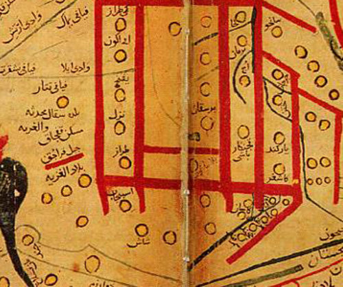
Primary Source
Map from Mahmud al-Kashgari’s Diwan (11th century)
Early Maritime Navigation Inquiry Unit
Early Maritime Navigation – Compass Lesson Download PDF…
Learn moreFilter Results

Primary Source
Early Maritime Navigation Inquiry Unit
Early Maritime Navigation – Compass Lesson Download PDF…
Learn more
Primary Source
Early Maritime Navigation Inquiry Unit
Early Maritime Navigation – Compass Lesson Download PDF…
Learn more
Primary Source
Early Maritime Navigation Inquiry Unit
Early Maritime Navigation – Compass Lesson Visit Source Download PDF…
Learn more
Primary Source
Early Maritime Navigation Inquiry Unit
Early Maritime Navigation – Compass Lesson View Source Download PDF…
Learn more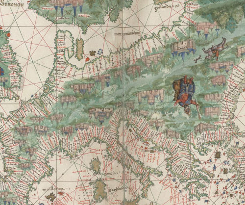
Primary Source
Early Maritime Navigation Inquiry Unit
Early Maritime Navigation – Compass Lesson & Europe Classroom Activity Europe and northern Africa. HM 29. PORTOLAN ATLAS, anonymous (Dieppe, 1547) Europe and northern Africa. HM 29. PORTOLAN AT…
Learn more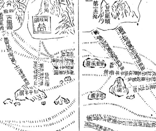
Primary Source
Early Maritime Navigation Inquiry Unit
Early Maritime Navigation – Classroom Activity Asia Folder Part of the Wubei Zhi chart of Zheng He showing the west coast of India along the top, Ceylon top right and Africa along the bottom. The s…
Learn more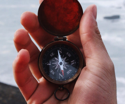
Hands-on Activity
Early Maritime Navigation Inquiry Unit
Early Maritime Navigation Inquiry Unit Compass Lesson Plan - Supporting Question 3 Task With a towel placed over their heads and the only visual being that of a magnetized needle, set on a plasti…
Learn more
Inquiry Unit
The open sea is a never-ending desert of water – the same in all directions. How did ancient mariners cross the ocean without GPS? The principles behind “modern” innovations used by our GPS-enab…
Learn more